
Laufen topographic map
Interactive map
Click on the map to display elevation.
About this map
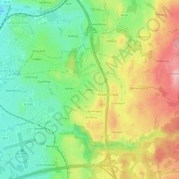
Name: Laufen topographic map, elevation, terrain.
Location: Laufen, Landkreis Oberallgäu, Swabia, Bavaria, 87471, Germany (47.68446 10.34080 47.72446 10.38080)
Average elevation: 760 m
Minimum elevation: 683 m
Maximum elevation: 861 m