
Blakenhall topographic map
Interactive map
Click on the map to display elevation.
About this map
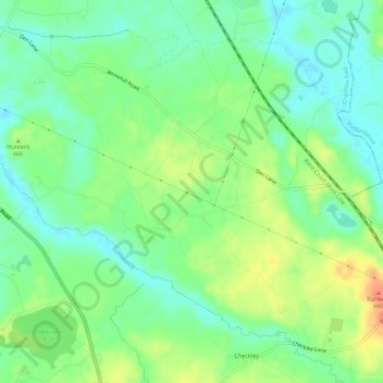
Name: Blakenhall topographic map, elevation, terrain.
Average elevation: 75 m
Minimum elevation: 58 m
Maximum elevation: 101 m
Other topographic maps
Click on a map to view its topography, its elevation and its terrain.
Checkley
United Kingdom > England > Checkley
Checkley, Herefordshire, West Midlands, England, HR1 4ND, United Kingdom
Average elevation: 134 m