
Eersel topographic map
Interactive map
Click on the map to display elevation.
About this map
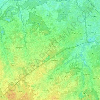
Name: Eersel topographic map, elevation, terrain.
Location: Eersel, North Brabant, Netherlands (51.31824 5.23760 51.46854 5.38891)
Average elevation: 26 m
Minimum elevation: 15 m
Maximum elevation: 40 m