
Hashima Island topographic map
Interactive map
Click on the map to display elevation.
About this map
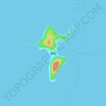
Name: Hashima Island topographic map, elevation, terrain.
Location: Hashima Island, Iwakuni, Yamaguchi Prefecture, Japan (34.02704 132.37877 34.04181 132.39138)
Average elevation: 3 m
Minimum elevation: 0 m
Maximum elevation: 109 m