
Chilhowee topographic map
Interactive map
Click on the map to display elevation.
About this map
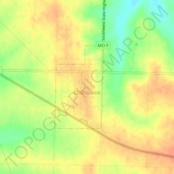
Name: Chilhowee topographic map, elevation, terrain.
Location: Chilhowee, Johnson County, Missouri, United States (38.58324 -93.86081 38.59618 -93.85117)
Average elevation: 274 m
Minimum elevation: 249 m
Maximum elevation: 288 m