
Rajaei Shahr (Gohardasht) topographic map
Interactive map
Click on the map to display elevation.
About this map
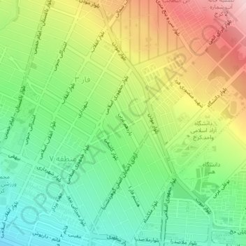
Name: Rajaei Shahr (Gohardasht) topographic map, elevation, terrain.
Average elevation: 1,422 m
Minimum elevation: 1,333 m
Maximum elevation: 1,551 m