
Ergates topographic map
Interactive map
Click on the map to display elevation.
About this map
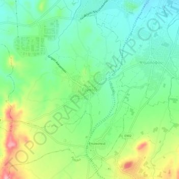
Name: Ergates topographic map, elevation, terrain.
Location: Ergates, Nicosia District, Cyprus, 2643, Cyprus (35.03405 33.22302 35.07405 33.26302)
Average elevation: 339 m
Minimum elevation: 293 m
Maximum elevation: 424 m