
Achill ED topographic map
Interactive map
Click on the map to display elevation.
About this map
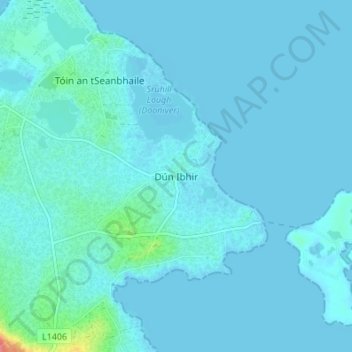
Name: Achill ED topographic map, elevation, terrain.
Location: Achill ED, Dooniver, County Mayo, Connacht, Ireland (53.98211 -9.96625 54.02211 -9.92625)
Average elevation: 5 m
Minimum elevation: -2 m
Maximum elevation: 69 m