
Mpohor topographic map
Interactive map
Click on the map to display elevation.
About this map
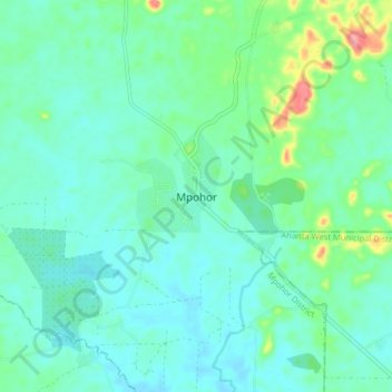
Name: Mpohor topographic map, elevation, terrain.
Location: Mpohor, Mpohor District, Western Region, Ghana (4.93059 -1.93280 5.01059 -1.85280)
Average elevation: 36 m
Minimum elevation: 15 m
Maximum elevation: 116 m