
Ellwood topographic map
Interactive map
Click on the map to display elevation.
About this map
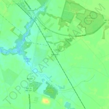
Name: Ellwood topographic map, elevation, terrain.
Location: Ellwood, Dorchester County, Maryland, 21643, United States (38.66678 -75.90744 38.70678 -75.86744)
Average elevation: 11 m
Minimum elevation: -1 m
Maximum elevation: 26 m
Other topographic maps
Click on a map to view its topography, its elevation and its terrain.
Ragged Island
United States > Maryland > Dorchester County
Ragged Island, Dorchester County, Maryland, United States
Average elevation: 0 m
Green Cove
United States > Maryland > Dorchester County
Green Cove, Dorchester County, Maryland, United States
Average elevation: 1 m
Riverton
United States > Maryland > Dorchester County
Riverton, Dorchester County, Maryland, United States
Average elevation: 2 m
Ripling Waters
United States > Maryland > Dorchester County > Ripling Waters
Ripling Waters, Dorchester County, Maryland, 21677, United States
Average elevation: 1 m
Cambridge
United States > Maryland > Dorchester County
Cambridge, Dorchester County, Maryland, 21613, United States
Average elevation: 3 m