
Grants topographic map
Interactive map
Click on the map to display elevation.
About this map
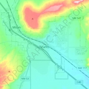
Name: Grants topographic map, elevation, terrain.
Location: Grants, Cibola County, New Mexico, 87020, United States (35.11746 -107.91069 35.18267 -107.78533)
Average elevation: 2,019 m
Minimum elevation: 1,943 m
Maximum elevation: 2,271 m