
Goljek topographic map
Interactive map
Click on the map to display elevation.
About this map
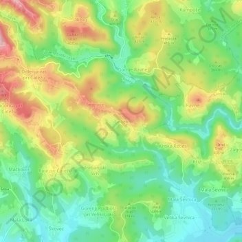
Name: Goljek topographic map, elevation, terrain.
Location: Goljek, Jugovzhodna Slovenija, 8219, Slovenia (45.93912 14.96964 45.97912 15.00964)
Average elevation: 367 m
Minimum elevation: 276 m
Maximum elevation: 501 m