
Plaxtol topographic map
Interactive map
Click on the map to display elevation.
About this map
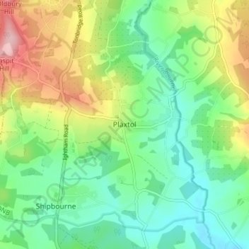
Name: Plaxtol topographic map, elevation, terrain.
Location: Plaxtol, Kent, South East, England, TN15 0QE, United Kingdom (51.23844 0.27624 51.27844 0.31624)
Average elevation: 89 m
Minimum elevation: 30 m
Maximum elevation: 201 m