
Reutte topographic map
Interactive map
Click on the map to display elevation.
About this map
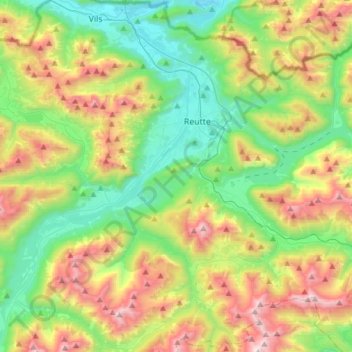
Name: Reutte topographic map, elevation, terrain.
Location: Reutte, Reutte (Außerfern), Tyrol, 6600, Austria (47.37587 10.61305 47.53731 10.91860)
Average elevation: 1,372 m
Minimum elevation: 786 m
Maximum elevation: 2,442 m