
Shaqlawa topographic map
Interactive map
Click on the map to display elevation.
About this map
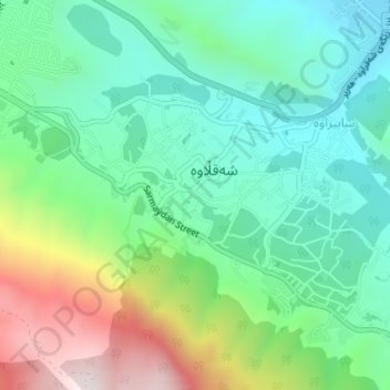
Name: Shaqlawa topographic map, elevation, terrain.
Location: Shaqlawa, Shaqlawa District, Erbil, Iraqi Kurdistan, Iraq (36.38942 44.32432 36.40674 44.35132)
Average elevation: 1,022 m
Minimum elevation: 786 m
Maximum elevation: 1,550 m