
Arad topographic map
Interactive map
Click on the map to display elevation.
About this map
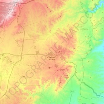
Name: Arad topographic map, elevation, terrain.
Location: Arad, Beersheba Subdistrict, South District, Israel (31.19462 35.11011 31.32518 35.34816)
Average elevation: 404 m
Minimum elevation: -136 m
Maximum elevation: 893 m
Other topographic maps
Click on a map to view its topography, its elevation and its terrain.
Masada National Park
Israel > South District > Arad
Masada National Park, Arad, Beersheba Subdistrict, South District, Israel
Average elevation: -34 m