
Farmville topographic map
Interactive map
Click on the map to display elevation.
About this map
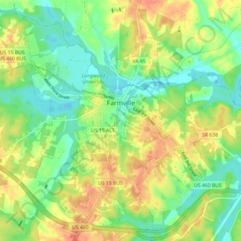
Name: Farmville topographic map, elevation, terrain.
Location: Farmville, Prince Edward County, Virginia, United States (37.26826 -78.44422 37.32712 -78.36304)
Average elevation: 113 m
Minimum elevation: 87 m
Maximum elevation: 149 m
Other topographic maps
Click on a map to view its topography, its elevation and its terrain.
Prince Edward County
United States > Virginia > Prince Edward County
Prince Edward County, Virginia, United States
Average elevation: 149 m