
Wold Newton topographic map
Interactive map
Click on the map to display elevation.
About this map
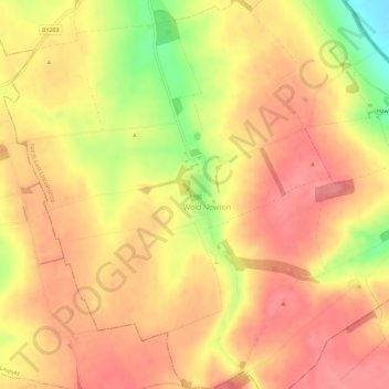
Name: Wold Newton topographic map, elevation, terrain.
Average elevation: 94 m
Minimum elevation: 38 m
Maximum elevation: 120 m
Other topographic maps
Click on a map to view its topography, its elevation and its terrain.
Hawerby
United Kingdom > England > Wold Newton > Hawerby
Hawerby, Wold Newton, North East Lincolnshire, Yorkshire and the Humber, England, DN36 5PX, United Kingdom
Average elevation: 62 m