
Mielec topographic map
Interactive map
Click on the map to display elevation.
About this map
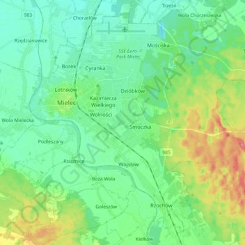
Name: Mielec topographic map, elevation, terrain.
Location: Mielec, Mielec County, Subcarpathian Voivodeship, Poland (50.23027 21.39610 50.33053 21.57127)
Average elevation: 176 m
Minimum elevation: 158 m
Maximum elevation: 221 m