
Šaľa topographic map
Interactive map
Click on the map to display elevation.
About this map
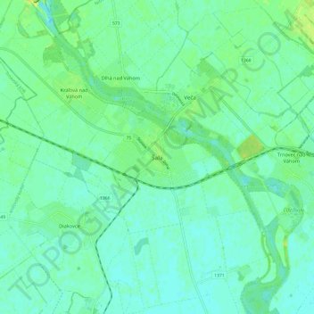
Name: Šaľa topographic map, elevation, terrain.
Location: Šaľa, Region of Nitra, Western Slovakia, 927 15, Slovakia (48.11138 17.83486 48.19138 17.91486)
Average elevation: 116 m
Minimum elevation: 111 m
Maximum elevation: 125 m