
Kabere topographic map
Interactive map
Click on the map to display elevation.
About this map
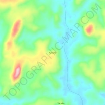
Name: Kabere topographic map, elevation, terrain.
Location: Kabere, Koinadugu District, Northern Province, Sierra Leone (9.50227 -11.76040 9.54227 -11.72040)
Average elevation: 439 m
Minimum elevation: 364 m
Maximum elevation: 603 m