
Atbarah topographic map
Interactive map
Click on the map to display elevation.
About this map
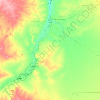
Name: Atbarah topographic map, elevation, terrain.
Location: Atbarah, River Nile State, Sudan (16.43086 33.91279 17.90318 35.70975)
Average elevation: 392 m
Minimum elevation: 341 m
Maximum elevation: 546 m