
Lydden topographic map
Interactive map
Click on the map to display elevation.
About this map
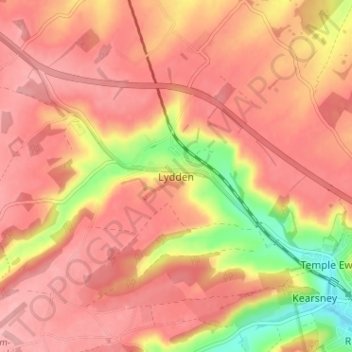
Name: Lydden topographic map, elevation, terrain.
Location: Lydden, Kent, South East, England, CT15 7ET, United Kingdom (51.14226 1.22130 51.18226 1.26130)
Average elevation: 110 m
Minimum elevation: 28 m
Maximum elevation: 146 m