
Bogale topographic map
Interactive map
Click on the map to display elevation.
About this map
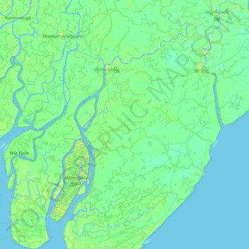
Name: Bogale topographic map, elevation, terrain.
Location: Bogale, Pyapon, Ayeyarwady, Myanmar (15.77210 95.08973 16.48506 95.63893)
Average elevation: 3 m
Minimum elevation: -4 m
Maximum elevation: 13 m
Other topographic maps
Click on a map to view its topography, its elevation and its terrain.
Ngapudaw
Myanmar > Ayeyarwady > Ngapudaw
Ngapudaw, Pathein, Ayeyarwady, Myanmar
Average elevation: 17 m