
Tipp City topographic map
Interactive map
Click on the map to display elevation.
About this map
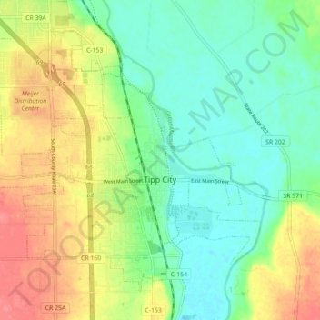
Name: Tipp City topographic map, elevation, terrain.
Location: Tipp City, Miami County, Ohio, United States (39.93767 -84.22922 39.99304 -84.14148)
Average elevation: 262 m
Minimum elevation: 236 m
Maximum elevation: 300 m
Other topographic maps
Click on a map to view its topography, its elevation and its terrain.
Troy
United States > Ohio > Miami County
Troy, Miami County, Ohio, 45373, United States
Average elevation: 262 m