
Kerpen topographic map
Interactive map
Click on the map to display elevation.
About this map
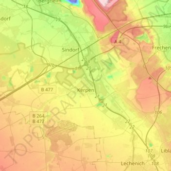
Name: Kerpen topographic map, elevation, terrain.
Location: Kerpen, Rhein-Erft-Kreis, North Rhine-Westphalia, Germany (50.82454 6.54949 50.92542 6.80524)
Average elevation: 98 m
Minimum elevation: -85 m
Maximum elevation: 206 m