
Szczyrk topographic map
Interactive map
Click on the map to display elevation.
About this map
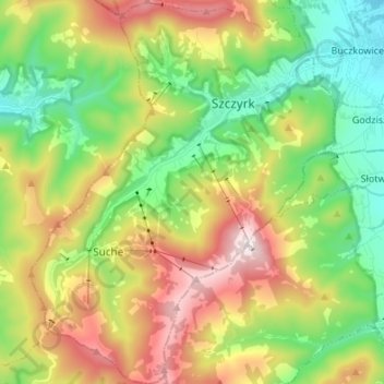
Name: Szczyrk topographic map, elevation, terrain.
Location: Szczyrk, Bielsko County, Silesian Voivodeship, 43-370, Poland (49.65280 18.95453 49.73998 19.06164)
Average elevation: 746 m
Minimum elevation: 424 m
Maximum elevation: 1,250 m