
Creswell topographic map
Interactive map
Click on the map to display elevation.
About this map
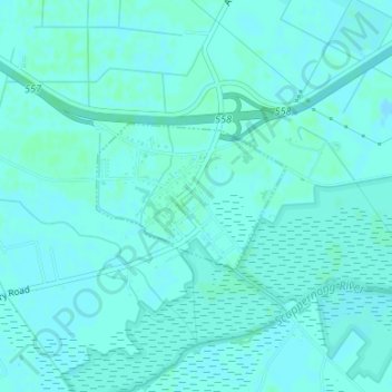
Name: Creswell topographic map, elevation, terrain.
Location: Creswell, Washington County, North Carolina, United States (35.86458 -76.40069 35.87463 -76.38456)
Average elevation: 2 m
Minimum elevation: 0 m
Maximum elevation: 4 m