
townsend park topographic map
Interactive map
Click on the map to display elevation.
About this map
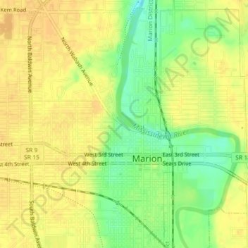
Name: townsend park topographic map, elevation, terrain.
Location: townsend park, Marion, Grant County, Indiana, USA (40.56162 -85.66321 40.56262 -85.66186)
Average elevation: 254 m
Minimum elevation: 235 m
Maximum elevation: 262 m