
Dunmor topographic map
Interactive map
Click on the map to display elevation.
About this map
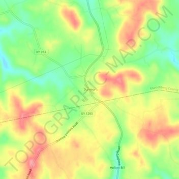
Name: Dunmor topographic map, elevation, terrain.
Location: Dunmor, Muhlenberg County, Kentucky, 42339, United States (37.05366 -87.01611 37.09366 -86.97611)
Average elevation: 179 m
Minimum elevation: 132 m
Maximum elevation: 223 m
Other topographic maps
Click on a map to view its topography, its elevation and its terrain.
Sandhill
United States > Kentucky > Muhlenberg County
Sandhill, Muhlenberg County, Kentucky, 42369, United States
Average elevation: 143 m