
Gmünd topographic map
Interactive map
Click on the map to display elevation.
About this map
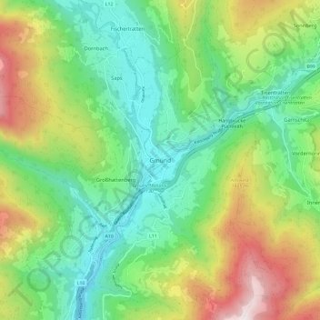
Name: Gmünd topographic map, elevation, terrain.
Location: Gmünd, Spittal an der Drau, Carinthia, 9853, Austria (46.86656 13.49598 46.94656 13.57598)
Average elevation: 1,132 m
Minimum elevation: 680 m
Maximum elevation: 2,017 m