
Štefanová topographic map
Interactive map
Click on the map to display elevation.
About this map
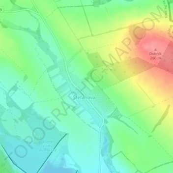
Name: Štefanová topographic map, elevation, terrain.
Location: Štefanová, Region of Bratislava, Slovakia (48.37962 17.39001 48.39173 17.40613)
Average elevation: 209 m
Minimum elevation: 181 m
Maximum elevation: 260 m