
Gimhae-si topographic map
Interactive map
Click on the map to display elevation.
About this map
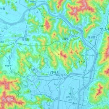
Name: Gimhae-si topographic map, elevation, terrain.
Location: Gimhae-si, Gyeongnam, South Korea (35.15118 128.69554 35.39511 129.01426)
Average elevation: 120 m
Minimum elevation: -6 m
Maximum elevation: 809 m