
Dane County topographic map
Interactive map
Click on the map to display elevation.
About this map
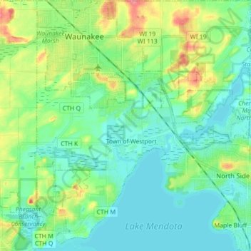
Name: Dane County topographic map, elevation, terrain.
Location: Town of Westport, Dane County, Wisconsin, 53597, USA (43.10424 -89.48268 43.20684 -89.36174)
Average elevation: 276 m
Minimum elevation: 257 m
Maximum elevation: 327 m
Other topographic maps
Click on a map to view its topography, its elevation and its terrain.