
Denderbelle topographic map
Interactive map
Click on the map to display elevation.
About this map
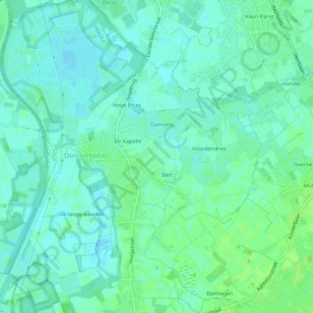
Name: Denderbelle topographic map, elevation, terrain.
Location: Denderbelle, Lebbeke, Dendermonde, East Flanders, Belgium (50.98575 4.07112 51.01659 4.11182)
Average elevation: 4 m
Minimum elevation: -1 m
Maximum elevation: 10 m