
Platte River topographic map
Interactive map
Click on the map to display elevation.
About this map
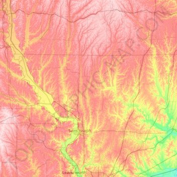
Name: Platte River topographic map, elevation, terrain.
Location: Platte River, Andrew County, Missouri, 64480, USA (39.26215 -94.83784 41.15636 -94.38047)
Average elevation: 311 m
Minimum elevation: 202 m
Maximum elevation: 422 m
Other topographic maps
Click on a map to view its topography, its elevation and its terrain.