
Fort Belvoir topographic map
Interactive map
Click on the map to display elevation.
About this map
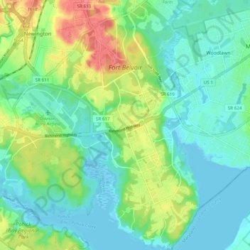
Name: Fort Belvoir topographic map, elevation, terrain.
Location: Fort Belvoir, Fairfax County, Virginia, 22060, United States (38.67293 -77.17392 38.74863 -77.12085)
Average elevation: 22 m
Minimum elevation: -3 m
Maximum elevation: 78 m