
Nadelhorn topographic map
Interactive map
Click on the map to display elevation.
About this map
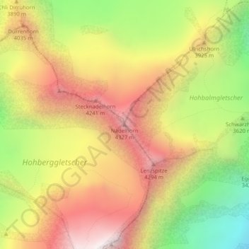
Name: Nadelhorn topographic map, elevation, terrain.
Location: Nadelhorn, Randa, Visp, Valais/Wallis, 3928, Switzerland (46.10883 7.86401 46.10893 7.86411)
Average elevation: 3,765 m
Minimum elevation: 2,967 m
Maximum elevation: 4,456 m