
Bellefontaine topographic map
Interactive map
Click on the map to display elevation.
About this map
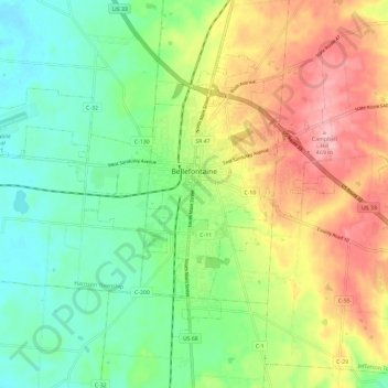
Name: Bellefontaine topographic map, elevation, terrain.
Location: Bellefontaine, Lake Township, Logan County, Ohio, 43311, USA (40.32282 -83.83477 40.38889 -83.71685)
Average elevation: 384 m
Minimum elevation: 326 m
Maximum elevation: 471 m