
Winnersh topographic map
Interactive map
Click on the map to display elevation.
About this map
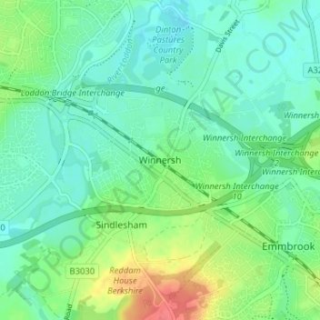
Name: Winnersh topographic map, elevation, terrain.
Average elevation: 48 m
Minimum elevation: 32 m
Maximum elevation: 85 m
Other topographic maps
Click on a map to view its topography, its elevation and its terrain.
Dinton Pastures Country Park
United Kingdom > England > Winnersh
Dinton Pastures Country Park, St. Nicholas, Hurst, Winnersh, Wokingham, South East, England, United Kingdom
Average elevation: 41 m