
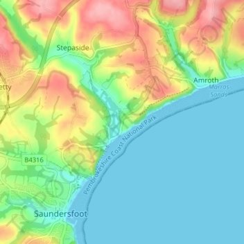
Wiseman's Bridge topographic map
Interactive map
Click on the map to display elevation.
About this map
Name: Wiseman's Bridge topographic map, elevation, terrain.
Average elevation: 39 m
Minimum elevation: 0 m
Maximum elevation: 114 m
Other topographic maps
Click on a map to view its topography, its elevation and its terrain.
Windyhill
United Kingdom > Wales > Pembrokeshire > Stepaside
Windyhill, Kilgetty Begelly, Stepaside, Pembrokeshire, Wales, SA67 8JT, United Kingdom
Average elevation: 65 m