
Bettws topographic map
Interactive map
Click on the map to display elevation.
About this map
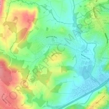
Name: Bettws topographic map, elevation, terrain.
Location: Bettws, Newport, Wales, United Kingdom (51.59327 -3.05090 51.62294 -3.00785)
Average elevation: 43 m
Minimum elevation: 7 m
Maximum elevation: 98 m
Wales trails, hiking, mountain biking, running and outdoor activities
Other topographic maps
Click on a map to view its topography, its elevation and its terrain.