
Hancock topographic map
Interactive map
Click on the map to display elevation.
About this map
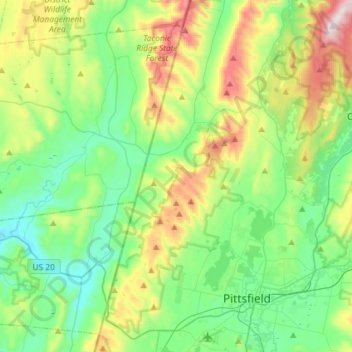
Name: Hancock topographic map, elevation, terrain.
Location: Hancock, Berkshire, Massachusetts, USA (42.41859 -73.38351 42.63266 -73.25831)
Average elevation: 413 m
Minimum elevation: 185 m
Maximum elevation: 983 m