
Ringelia topographic map
Interactive map
Click on the map to display elevation.
About this map
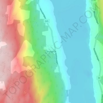
Name: Ringelia topographic map, elevation, terrain.
Location: Ringelia, Søndre Land, Oppland, Norway (60.62240 10.31180 60.66240 10.35180)
Average elevation: 266 m
Minimum elevation: 131 m
Maximum elevation: 557 m