
Marshope topographic map
Interactive map
Click on the map to display elevation.
About this map
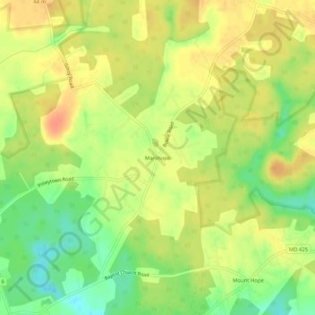
Name: Marshope topographic map, elevation, terrain.
Location: Marshope, Charles County, Maryland, 20662, USA (38.45540 -77.21081 38.49540 -77.17081)
Average elevation: 32 m
Minimum elevation: 7 m
Maximum elevation: 51 m