
Ollaberry topographic map
Interactive map
Click on the map to display elevation.
About this map
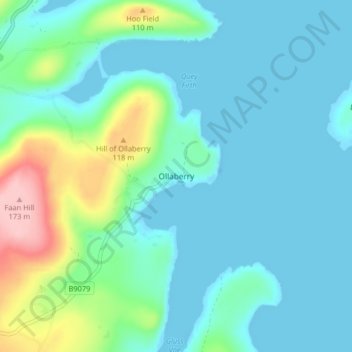
Name: Ollaberry topographic map, elevation, terrain.
Location: Ollaberry, Shetland Islands, Scotland, ZE2 9SA, United Kingdom (60.48770 -1.35442 60.52770 -1.31442)
Average elevation: 30 m
Minimum elevation: -16 m
Maximum elevation: 154 m