
Pegwell Bay topographic map
Interactive map
Click on the map to display elevation.
About this map
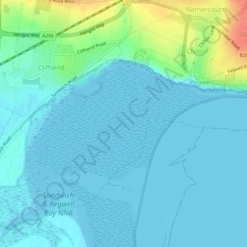
Name: Pegwell Bay topographic map, elevation, terrain.
Average elevation: 9 m
Minimum elevation: 0 m
Maximum elevation: 47 m
Other topographic maps
Click on a map to view its topography, its elevation and its terrain.
Wantsum
United Kingdom > England > Thanet
Wantsum, Thanet, Kent, South East, England, CT3 1JB, United Kingdom
Average elevation: 5 m
Broadstairs and St Peters
United Kingdom > England > Thanet
Broadstairs and St Peters, Thanet, Kent, South East, England, United Kingdom
Average elevation: 29 m