
Changla topographic map
Interactive map
Click on the map to display elevation.
About this map
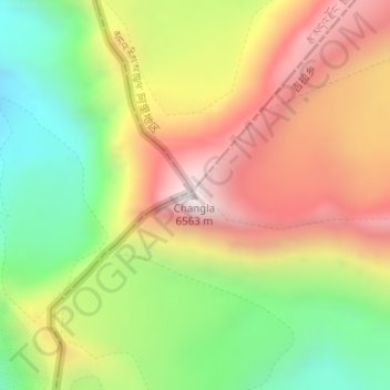
Name: Changla topographic map, elevation, terrain.
Location: Changla, Hor Town, Burang County, Ngari Prefecture, Tibet, PRC (30.30262 82.12829 30.30272 82.12839)
Average elevation: 5,994 m
Minimum elevation: 5,469 m
Maximum elevation: 6,550 m