
Ternberg topographic map
Interactive map
Click on the map to display elevation.
About this map
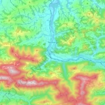
Name: Ternberg topographic map, elevation, terrain.
Location: Ternberg, Steyr-Land, Upper Austria, 4452, Austria (47.88272 14.29214 47.98826 14.41674)
Average elevation: 618 m
Minimum elevation: 311 m
Maximum elevation: 1,258 m