
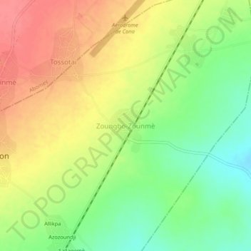
Kinta topographic map
Interactive map
Click on the map to display elevation.
About this map
Name: Kinta topographic map, elevation, terrain.
Location: Kinta, Agbangnizoun, Zou, Benin (7.08553 2.02458 7.12553 2.06458)
Average elevation: 128 m
Minimum elevation: 91 m
Maximum elevation: 163 m